Reflecto News is an online news platform covering major international political events, global economic developments, and security conflicts. The site provides updates on topics such as Chinese manufacturing dominance, Middle Eastern political tensions, and high profile legal arrests. Readers can access current articles organized by categories like World News, Iran, and USA.
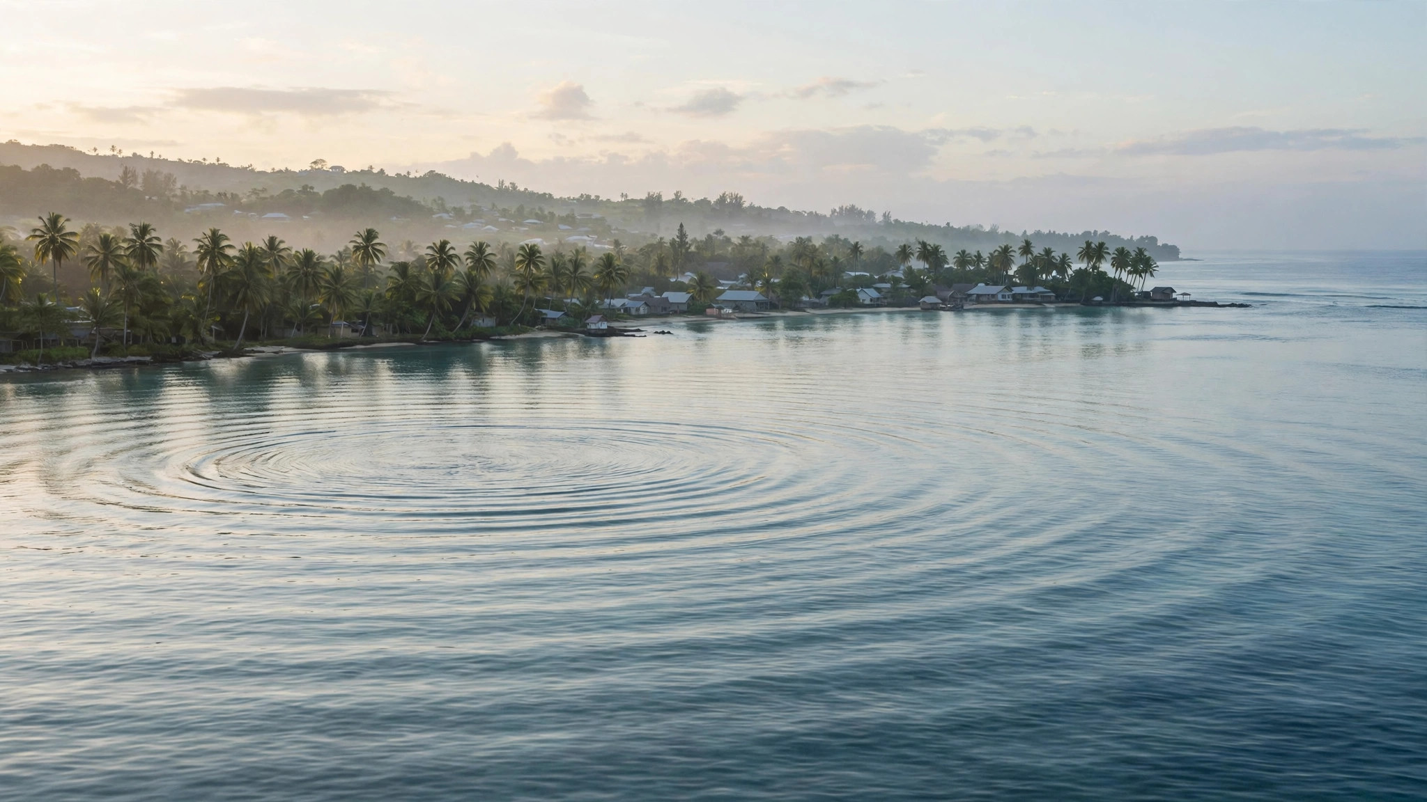
A 6.9-magnitude earthquake struck off the coast of Vanuatu in the South Pacific on Saturday, October 24, 2026, prompting a tsunami warning for coasts within 300 kilometres of the epicentre. The Pacific Tsunami Warning Center later declared the threat had passed, and no damage or casualties were immediately reported.
The United States Geological Survey (USGS) recorded the first tremor at 02:31 UTC — 13:31 local time in Vanuatu — about 197 kilometres west-northwest of Port-Olry, a town on Espiritu Santo, the country’s largest island. The quake struck at a depth of about 10 kilometres beneath the seabed, according to the agency.
The USGS first measured the quake automatically at magnitude 7.2 and later revised it to 6.9 after further analysis, a normal pattern for large offshore earthquakes, where early automated readings are refined as more seismic data arrives. A second earthquake, measuring 6.3, followed just four minutes later, at 02:35 UTC, about 170 kilometres northwest of Port-Olry, also at a depth of about 10 kilometres.
Vanuatu earthquake: what the USGS recorded
The first quake was followed by a sequence of aftershocks. According to USGS data, at least eight further earthquakes of magnitude 5 or above were recorded through 05:23 UTC, including several in the magnitude 5.7 to 5.8 range. The USGS assigned the main quake a preliminary “green” alert level, indicating a low likelihood of significant casualties or economic losses.
Other monitoring agencies recorded broadly the same event with small differences in their figures, which is normal because each uses a different network of seismic stations. The European-Mediterranean Seismological Center placed the epicentre about 200 kilometres west-northwest of Port-Olry and about 507 kilometres northwest of the capital, Port Vila. Vanuatu’s own Meteorology and Geo-Hazards Department listed the first quake at magnitude 6.9 and the second at 6.5. The consistent picture is a strong, shallow offshore sequence north of Espiritu Santo.
Tsunami warning issued, then lifted
The Pacific Tsunami Warning Center in Hawaii issued an initial message warning that hazardous tsunami waves could affect coasts within 300 kilometres of the epicentre. It said the first wave could reach Espiritu Santo at about 03:01 UTC, while cautioning that the arrival time could differ and that the first wave might not be the largest, with effects depending on the coastline, water depth and tide.
In a later bulletin, issued at 03:28 UTC, the centre confirmed that the tsunami threat had passed. It said minor sea-level fluctuations could still occur in some coastal areas near the earthquake over the following hours, but that no further action was required beyond normal caution near the sea. Australia’s Bureau of Meteorology said there was no tsunami threat for Australia.
No damage or casualties reported so far
As of the latest updates, there were no immediate reports of damage or casualties from the earthquakes, according to reporting by The Indian Express and ABP Live, both citing USGS and tsunami-monitoring data. That assessment reflects the quakes’ offshore location and the absence of early reports from the affected area, and authorities continued to monitor aftershocks and sea levels through the day.
Why Vanuatu shakes so often
Vanuatu is an archipelago of around 80 islands sitting on the Pacific Ring of Fire, the seismically active zone around the edges of the Pacific Ocean where tectonic plates meet. In Vanuatu’s case, one plate is diving beneath another in a process known as subduction, which stores up strain and releases it as earthquakes. That geology makes the country one of the most earthquake-prone places on Earth, and strong offshore quakes are a regular occurrence.
What a tsunami warning means
A tsunami warning is a precautionary alert, not a confirmation that a destructive wave is on its way. It is issued when an earthquake is large and shallow enough that a tsunami is possible, giving coastal residents time to move away from the shore. Waves, when they do arrive, can come in a series over several hours, and the first is not always the largest. An all-clear should only be taken from an official agency, and people in a threatened area are advised to stay alert and follow instructions from national and local authorities.
Frequently Asked Questions
How strong was the Vanuatu earthquake?
The main quake measured magnitude 6.9, according to the USGS, after an initial automated reading of 7.2 was revised. A second earthquake of magnitude 6.3 struck the same area four minutes later.
Was there a tsunami?
A tsunami warning was issued for coasts within 300 kilometres of the epicentre, but the Pacific Tsunami Warning Center declared the threat had passed at 03:28 UTC. Minor sea-level fluctuations were possible for a time, but no destructive wave was reported.
Was anyone hurt, or was anything damaged?
There were no immediate reports of casualties or damage, according to multiple outlets citing USGS and tsunami-monitoring data. Authorities continued to monitor the situation through the day.
Why does Vanuatu have so many earthquakes?
Vanuatu sits on the Pacific Ring of Fire, where tectonic plates converge and one slides beneath another. That constant plate movement produces frequent earthquakes, including strong offshore events like this one.
Sources: United States Geological Survey; Pacific Tsunami Warning Center; reporting by The Indian Express and ABP Live (PTI).
Questions people ask
What is China's current share of global manufacturing?
China now accounts for twenty eight percent of global manufacturing. This industrial output exceeds the combined manufacturing production of the United States, Japan, and Germany, making China the leading global industrial power according to recent reports.
Why were Andrew Tate and Tristan Tate arrested in Miami?
Andrew Tate and his brother Tristan Tate were taken into custody in Miami by the United States Marshals Service. They face thirty eight new charges in the United Kingdom, including rape and child pornography offences, and prosecutors are seeking their extradition.
What warning did Moscow issue about oil prices?
Kirill Dmitriev, the Chief Executive of the Russian Direct Investment Fund, warned that a tsunami of skyrocketing oil prices is approaching. Moscow describes this potential energy shock as a major threat to global markets.
What political shift is projected for Benjamin Netanyahu's coalition?
Political polls project that Prime Minister Benjamin Netanyahu's coalition is on track to lose its majority in the upcoming October election. This projection indicates a potential political shift in Jerusalem.
Why did a Russian military aircraft land in Tehran?
A Russian airborne command aircraft, widely known as a doomsday plane, landed in Tehran. The arrival of the aircraft represents a high stakes show of support from Russia for Iran during a period of heightened regional tensions.
What did President Masoud Pezeshkian claim about the United States and Israel?
Iranian President Masoud Pezeshkian claimed that the United States and Israel failed in a forty eight hour plan to topple the Iranian government. He made these statements during a televised address marking two years since his inauguration.