Reflecto News
April 15, 2026
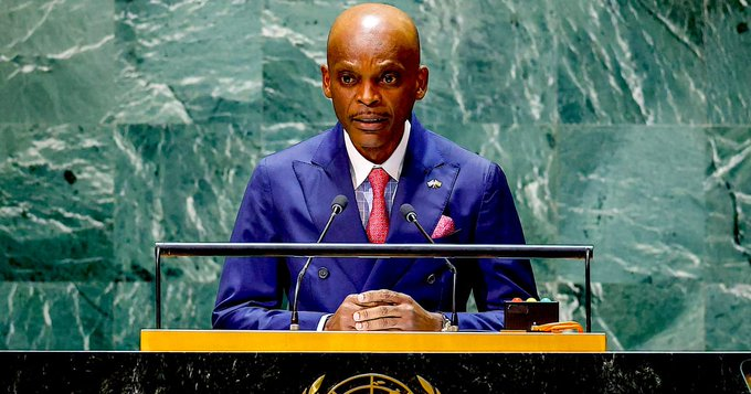
Togo’s Foreign Minister Robert Dussey has called on United Nations member states to abandon the centuries-old Mercator projection — long criticized for shrinking Africa’s apparent size relative to other continents — and adopt the more accurate Equal Earth projection instead.
Speaking in recent interviews and at the UN, Dussey described the Mercator map as “geographically inaccurate” and argued that correcting it represents a matter of “scientific truth” and cognitive justice. He emphasized that Africa, with its vast 30.3 million square kilometers and growing population, is often visually minimized on standard world maps, influencing global perceptions of the continent’s importance.
The initiative is backed by the African Union, which earlier this year adopted a resolution promoting the Equal Earth projection and encouraging its 55 member states to move away from Mercator. Advocacy groups such as Africa No Filter and Speak Up Africa are also supporting the “Correct the Map” campaign.
A draft UN resolution is being prepared, with a potential vote expected at the next session of the UN General Assembly in September 2026.
The Mercator projection (left) dramatically enlarges landmasses near the poles while shrinking equatorial regions like Africa. The Equal Earth projection (right) aims for a more balanced representation of relative sizes.
Why the Mercator Projection Is Controversial
Developed by Gerardus Mercator in 1569 for navigation purposes, the projection preserves angles (making it useful for sailors) but severely distorts area and size. Countries near the equator — including most of Africa — appear much smaller than they are in reality, while landmasses closer to the poles (such as Greenland or parts of Europe and North America) look disproportionately large.
Critics argue this visual bias has shaped colonial-era and post-colonial perceptions, contributing to a Eurocentric worldview that downplays Africa’s geographic scale and strategic importance. For example, on a standard Mercator map, Greenland can appear roughly the same size as Africa, even though Africa is actually about 14 times larger.
The Equal Earth Projection
Introduced in 2018 by a team of cartographers, the Equal Earth projection is an equal-area map designed to show countries and continents at their true relative sizes while maintaining a visually pleasing and recognizable shape. It addresses many of the distortions found in Mercator and other common projections (such as Gall-Peters) without sacrificing too much aesthetic appeal.
Dussey and supporters argue that adopting Equal Earth across UN materials, educational resources, and official maps would help “reclaim Africa’s rightful place in the global imagination” and promote more accurate geographic understanding worldwide.
Reactions and Next Steps
- African Union member states have shown strong support, viewing the campaign as part of broader efforts toward cognitive and reparative justice.
- Some cartographers and educators welcome the discussion as a chance to update outdated visual representations taught in schools globally.
- Skeptics note that the Mercator projection remains practically useful for certain navigation and digital mapping applications, and changing official UN maps would require broad consensus.
Togo is leading the diplomatic effort, with Dussey calling for UN member states to embrace “scientific truth” over historical convention.
A formal resolution could be tabled later this year, potentially leading to updated UN world maps and influencing how geography is taught and presented internationally.
Reflecto News will follow the progress of the draft resolution, reactions from other UN member states, and any broader impact on global cartographic standards.
Frequently Asked Questions (FAQs)
What is Togo proposing at the UN?
Togo is urging member states to replace the Mercator projection with the Equal Earth projection in official UN materials and to encourage its wider global adoption, arguing that Mercator distorts Africa’s true size.
Why is the Mercator map criticized?
It preserves angles for navigation but greatly exaggerates the size of landmasses near the poles while shrinking equatorial regions, making Africa appear significantly smaller than it actually is (about 14 times larger than Greenland in reality).
What is the Equal Earth projection?
A 2018 equal-area world map designed to show countries and continents at their true relative sizes while remaining visually balanced and recognizable.
When could a UN resolution be voted on?
A draft resolution is being prepared, with a possible vote at the UN General Assembly session in September 2026.
Is this only about Africa?
While the campaign focuses heavily on correcting Africa’s representation, supporters argue it promotes more accurate geography overall and challenges long-standing Eurocentric biases in mapping.
For the latest on Togo’s “Correct the Map” initiative, UN developments, and global cartography debates, stay with Reflecto News.